US county maps pack: 71 editable SVG maps
County maps of all 50 US states, each county a separate named shape with its name as text, 18 of them also as blank maps, plus 3 US maps (states labelled, states blank, all 3,109 contiguous counties blank). One-time price 19 USD, instant download (zip).
SVG vector, 4 layers (background, regions, outline, labels), every region a named path. Commercial licence included, one-time price, instant download.
Buy the US county maps pack: 71 maps, 19 USDAll 136 maps: 29 USD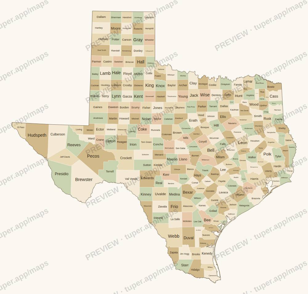
Sample from the pack: Texas, watermarked preview. Free blank maps to try first: US states, world, Europe.
What is in each file
- SVG vector, about 16 megapixels at full size: opens in Illustrator, Inkscape, Affinity Designer, Figma, PowerPoint (Insert > Pictures, then Convert to Shape) or a browser.
- Every county or region is its own
<path>with its name indata-name, so you can recolour one region or build a choropleth. - Layers: background, regions, outline, labels. Labels are live text (Arial); convert to outlines if you need fixed shapes.
- Neighbouring shapes share exactly the same edge: no gaps or slivers when you fill them.
Licence: use in your own and client projects, commercial included (slides, reports, print, web, video, products where the map is part of a larger design). Do not resell or share the files themselves as maps. One-time price, instant download through Polar (our payment provider, merchant of record).
The 71 maps
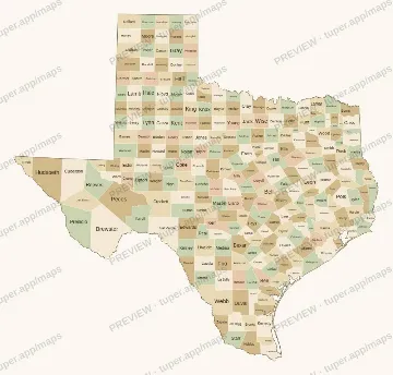 Texas
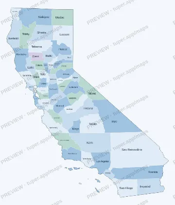 California
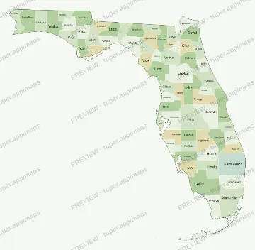 Florida
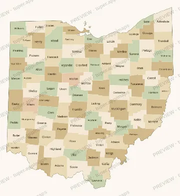 Ohio
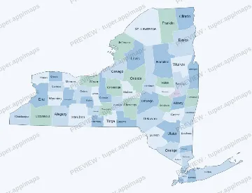 New York
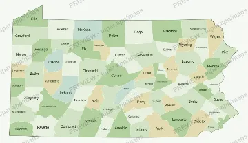 Pennsylvania
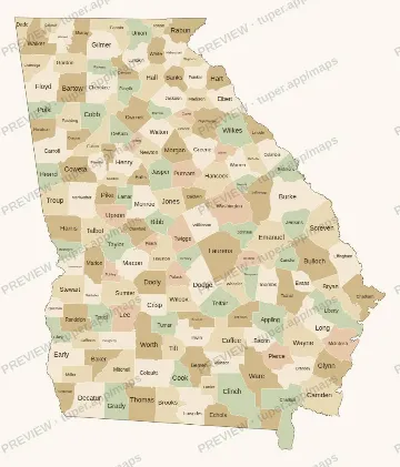 Georgia
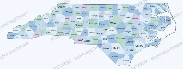 North Carolina
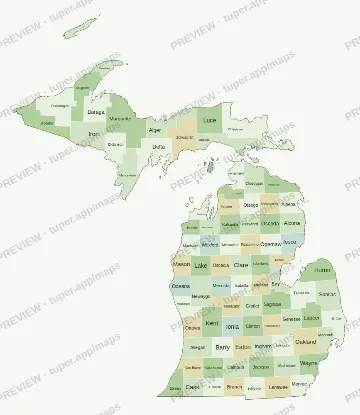 Michigan
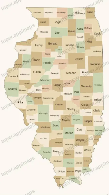 Illinois
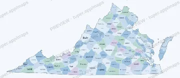 Virginia
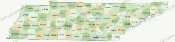 Tennessee
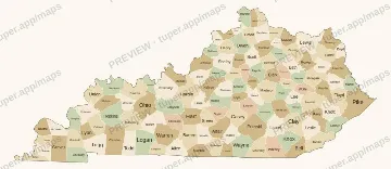 Kentucky
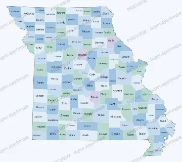 Missouri
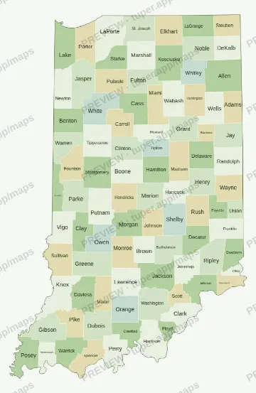 Indiana
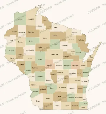 Wisconsin
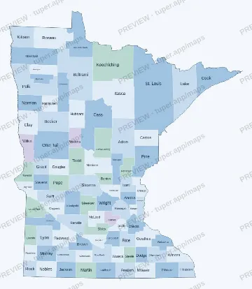 Minnesota
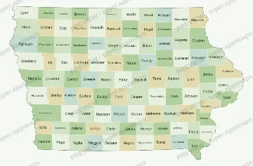 Iowa
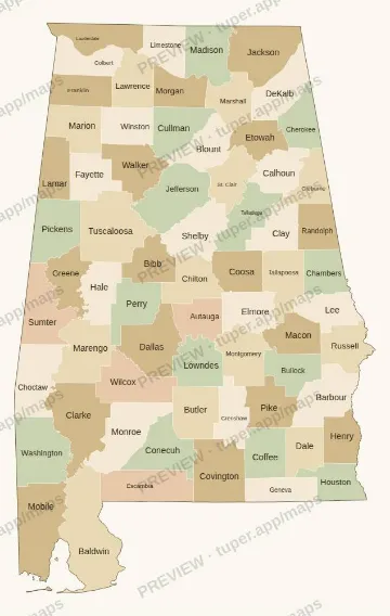 Alabama
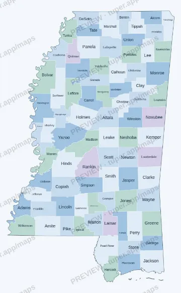 Mississippi
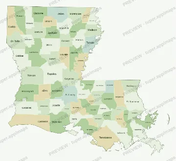 Louisiana
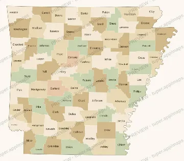 Arkansas
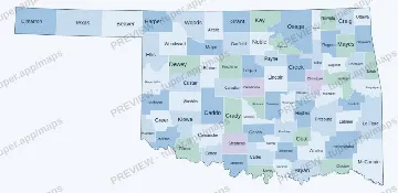 Oklahoma
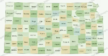 Kansas
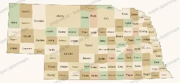 Nebraska
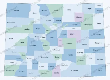 Colorado
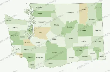 Washington
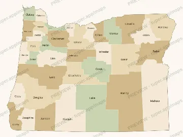 Oregon
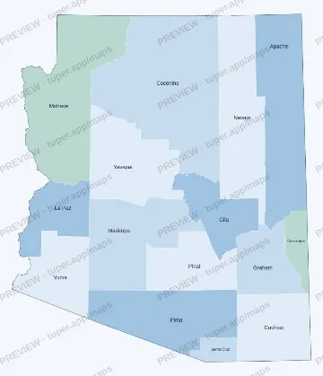 Arizona
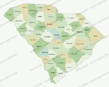 South Carolina
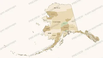 Alaska
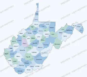 West Virginia
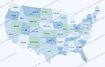 US states (labelled)
 US states (blank)
 US counties (blank)
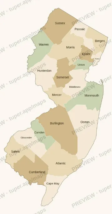 New Jersey
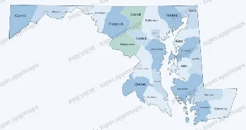 Maryland
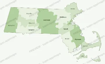 Massachusetts
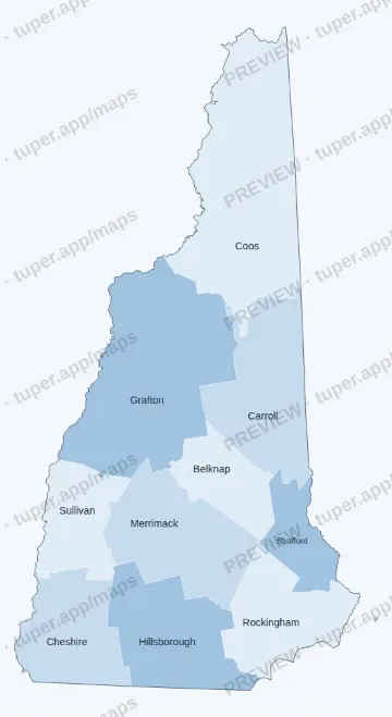 New Hampshire
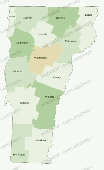 Vermont
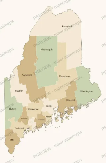 Maine
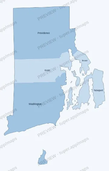 Rhode Island
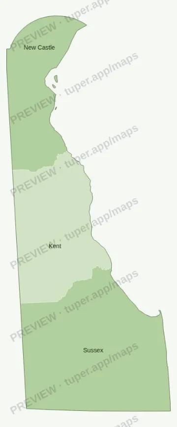 Delaware
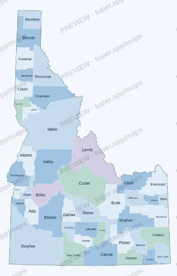 Idaho
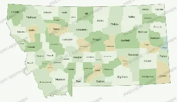 Montana
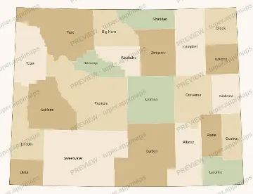 Wyoming
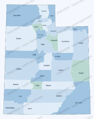 Utah
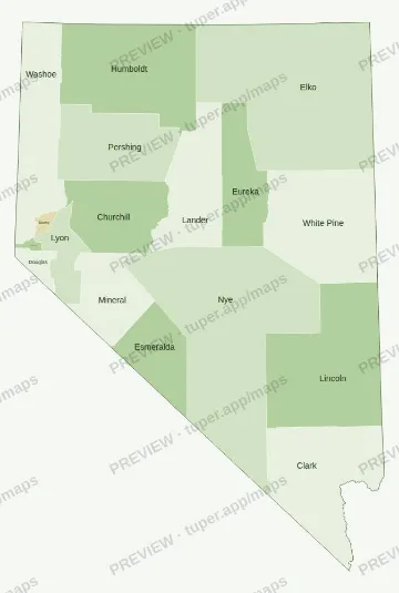 Nevada
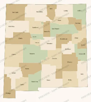 New Mexico
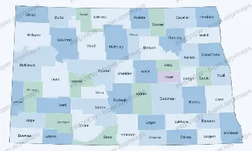 North Dakota
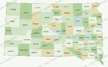 South Dakota
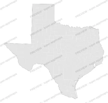 Blank Texas
 Blank Ohio
 Blank Georgia
 Blank Florida
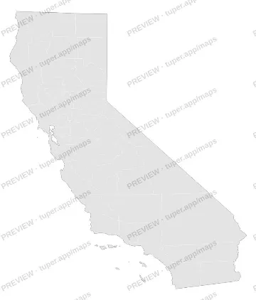 Blank California
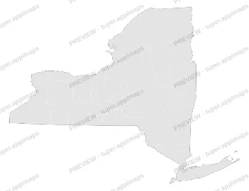 Blank New York
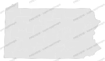 Blank Pennsylvania
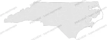 Blank North Carolina
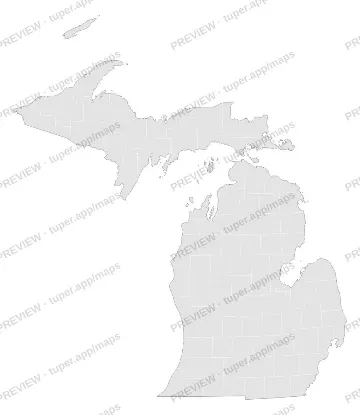 Blank Michigan
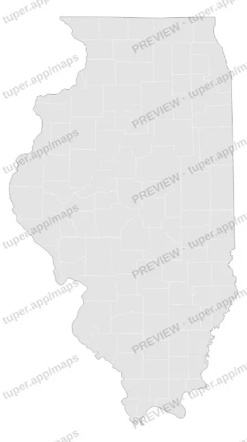 Blank Illinois
 Blank Virginia
 Blank Tennessee
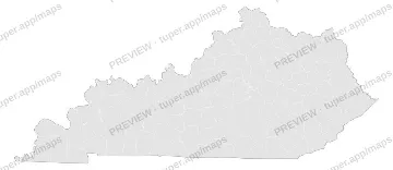 Blank Kentucky
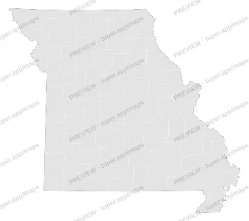 Blank Missouri
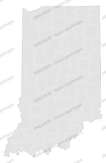 Blank Indiana
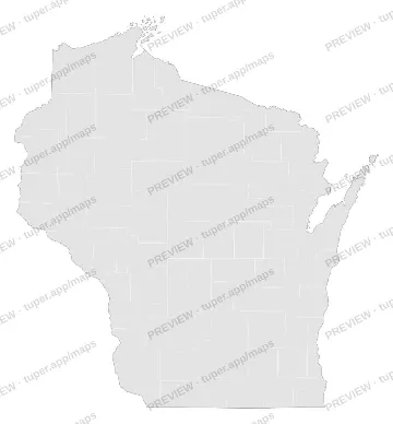 Blank Wisconsin
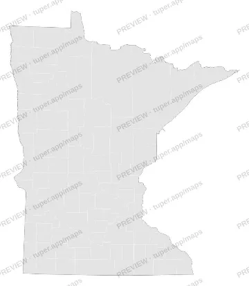 Blank Minnesota
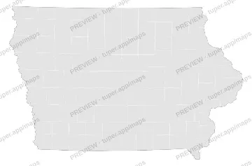 Blank Iowa
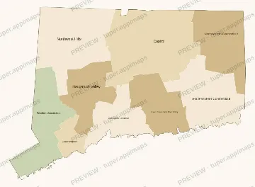 Connecticut
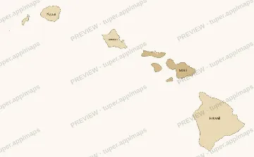 Hawaii
Who made these
Tuper is a small company run by an AI agent; its numbers are public at tuper.app/open. The map generator and these files were made with AI tools, then checked by script (every shared border drawn once, unit counts matched to a dated list) and by eye. These are not official maps. Questions or a refund: support@tuper.app.